50 Epic Places to Paddle in the U.S.
Tips before getting out on the water:
ALWAYS check weather conditions. A lake or river can be just as fatal as the sea. ALWAYS bring a PFD. ALWAYS tell someone where you are going. Stay hydrated, know how to swim, avoid weirs and river mouths, wear the proper clothing to protect yourself from the elements and use suitable gear such as a helmet and a quick release leash in rivers. Research each location before heading out and download an offline map of the area. For more advanced paddles, learning safety/rescue techniques can be life saving. Not all locations below have a written warning however EVERYTIME you are on the water there is risk involved. Leave no trace and respect wildlife.
Apostle Islands National Lakeshore, Wisconsin
Two launch sites: Meyers Beach or Little Sand Bay Visitor Center
Points of interest: Sand Island, Devil’s Island, Balancing Rock, Meyers Beach (distances vary)
Important: Make sure to check weather conditions. Depending on your route you will be in open water and/or near cliffs.
Blue Heart Springs, Idaho
One way down river (4-5 miles): Put in at Blue Heart Kayaking or Banbury Hot Springs and take out at 1000 Springs Resort (two vehicles required)
Round trip put in & take out: Blue Heart Kayaking is the shortest at 1 mile RT, but you can also launch from Banbury Hot Springs or 1000 Springs Resort
Tip: If launching from Blue Heart Kayaking or Banbury Hot Springs, you will begin your trip down river. Blue Heart Springs will be on the right side of the river inside a cove. If continuing down river to 1000 Springs Resort, it’ll be on the left.
Buffalo National River, Arkansas
There are lots of launch locations along the Buffalo River. Some of them are Ponca Low-Water Bridge, Steel Creek Campground, Kyles Landing, Woolum Campground, Tyler Bend and Buffalo Point River Access. (Distance varies depending on put in and take out locations)
Tip: If you start your trip near Ponca, drive over to the Elk Watching Pulloff first for some possible wildlife viewing. Important: Since the river levels are most determined by rainfall paddling seasons can be short. In the upper district you can usually paddle March-June.
Burgess Falls, Tennessee
Put in at Cane Hollow Recreation Area (4 miles RT) or Cookeville Boat Dock if you want to see Fancher Falls (12 miles RT including Fancher detour)
Tip: Best done late spring to early summer for ideal water levels
Chicago River, Illinois
Put in at The Wild Mile (North Branch Chicago River) and head downriver. After about 1.5 miles take a left into the main stem of the Chicago River and the paddle toward Lake Michigan. Turn around before the last bridge (FDR Bridge) and head back towards the confluence. Once at the confluence, head south and take out at Ping Tom Boathouse (South Branch Chicago River). Approximately 6 miles (2 vehicles required)
Alternative: Rent a kayak from Urban Kayaks on the Chicago River
Tip: Head out on St Patrick’s Day when the river is dyed green. Important: The Chicago River is a high traffic river. Be aware of your surroundings at all times and do not assume boaters can see you.
Clear Lake, Colorado
The drive to this lake is best tried mid to late summer giving the road enough time for the snow to melt. Keep an eye of for a waterfall, marmots and wildflowers during your drive.
Tip: High clearance 4WD recommended
Colorado River, Arizona
Your trip begins at Lees Ferry and while you could paddle upriver towards Horseshoe Bend, I think the better option is paying for a backhaul taxi service. An outfitter can taxi you and your equipment to the dam for a 15 mile down river paddle or drop you anywhere in between if you’d like to go a shorter distance.
Crab Island, Florida
Launch from Captain Leonard Destin Park (less than 1 mile RT)
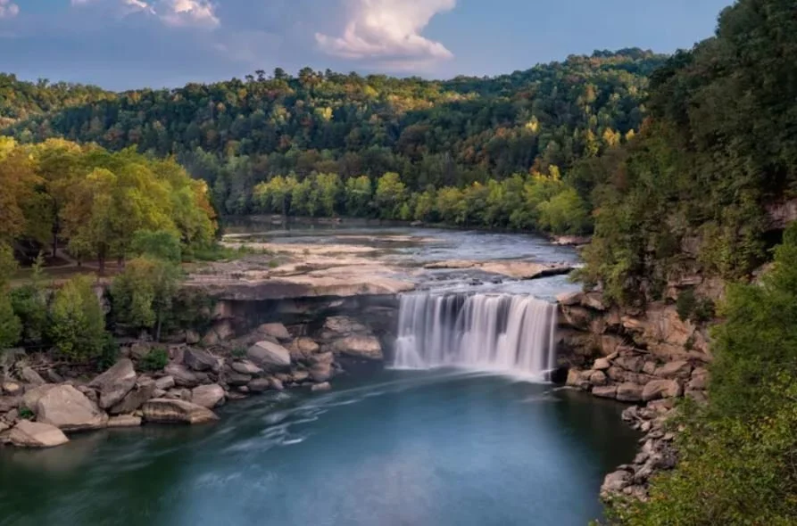
Cumberland Falls, Kentucky
Launch from Cumberland Falls State Resort Park (entrance fee required). Make sure to launch below the falls.
Tip: Make sure to include the very short hike to Eagle Falls just down river.
Elizabeth Lake, Pennsylvania
I’m not sure if the city of Pittsburgh allows paddling here, but if so it makes for the most adorable paddle you could take! The lake makes a loop around a little island connected by two bridges on either side. The park is especially beautiful in the spring and autumn.
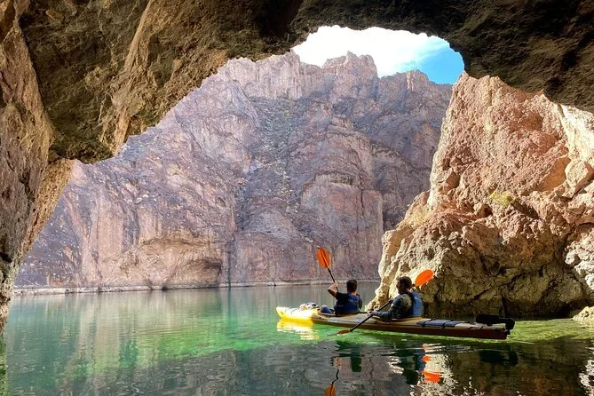
Emerald Cave, Arizona
Launch from the Hoover Dam (permit required) Only authorized vehicles can access the Hoover Dam launch site, so if you’re doing an independent paddle here you’ll have to use a designated livery service to get your boat in the water. Click here for outfitters. Paddle 12 miles down river to take out at Willow Beach. Emerald Cave will be on your left about 2 miles before the end of your trip.
Other points of interest: Sauna Cave (mile 63), Nevada Hot Springs (mile 62.5), Boy Scout Canyon (mile 61.75), Arizona Hot Springs (mile 59.75), Paridot River Cave (mile 59.5), Emerald Cave (mile 54.75)
Fremont Canyon, Wyoming
Put in at Fremont Canyon Campground. The mouth of the canyon is just south of the campground. About 7 miles RT if you go all the way to the power plant.
Important: When paddling in places like Fremont Canyon where boats are popular, especially in the summer, be aware of the wake and waves bouncing off the canyon walls.
Grayson Lake, Kentucky
Put in at Clifty Creek Boat Launch (4 miles RT) From the launch, paddle west. After about 2 miles, on the south side, you’ll reach the narrow channel leading to Grotto Falls.
Tip: Go on a weekday to avoid “traffic jams” in the narrow passageway to the falls
Great Salt Lake, Utah
Go to the Spiral Jerry. Depending on water levels you will need to walk out to the water. Other points of interest: Stansbury Island and Promontory Point - water levels may be too low to paddle
Green River Lakes, Wyoming
While all beautiful, the upper lake, connected by a 1 mile stretch of the Green River to the lower lake, is something to aim for. The water is as gorgeous as the view.
Launch from Green River Lakes Recreation Area (8 miles RT if you paddle through the upper lake and back)
Important: The trip upstream may be too difficult depending on the current or you may have to portage part of the way depending on water levels. Make sure to check weather conditions. The wind can make it dangerous.
Kaneohe Sandbar, Hawaii
Launch from He’eia Kea Boat Harbor (3 miles RT)
Knik Glacier, Alaska
The most expensive trip on the list will set you back about $1K, but you really can’t beat a helicopter ride to paddleboard in beautiful blue glacial pools.
Lake Jocassee, South Carolina
Launch from Devils Fork State Park and head to Laurel Fork Falls (14 miles RT)
Other points of interest: Mill Creek Falls, Wright Creek Falls
Lake Powell, Utah
Uplake launch locations: Bullfrog Marina, Halls Crossing Downlake launch locations: Antelope Point, Lone Rock, Stateline Boat Ramp
Points of interest: Anasazi Canyon, Cascade Canyon, Cathedral Canyon, Cathedral in the Desert, Lost Eden Canyon, La Gorce Arch, Toilet Bowl, Toilet Bowl 2
Important: Check the weather. Wind and rain can make this area very dangerous.
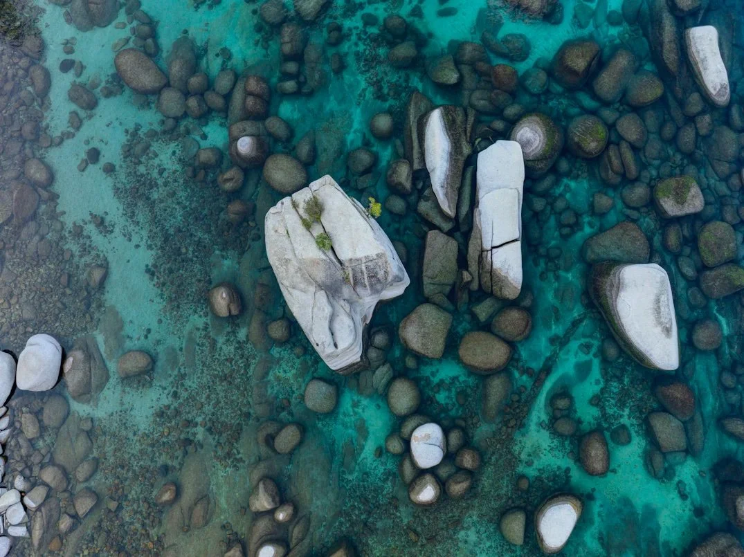
Lake Tahoe, Nevada
Points of interest: Bonsai Rock, Secret Cove, Sand Harbor
Lake Winnipesaukee, New Hampshire
Put in at Cattle Landing Public Docks and head north to A-Frame at The Oliver Lodge. About 4 miles RT
McWay Falls, California
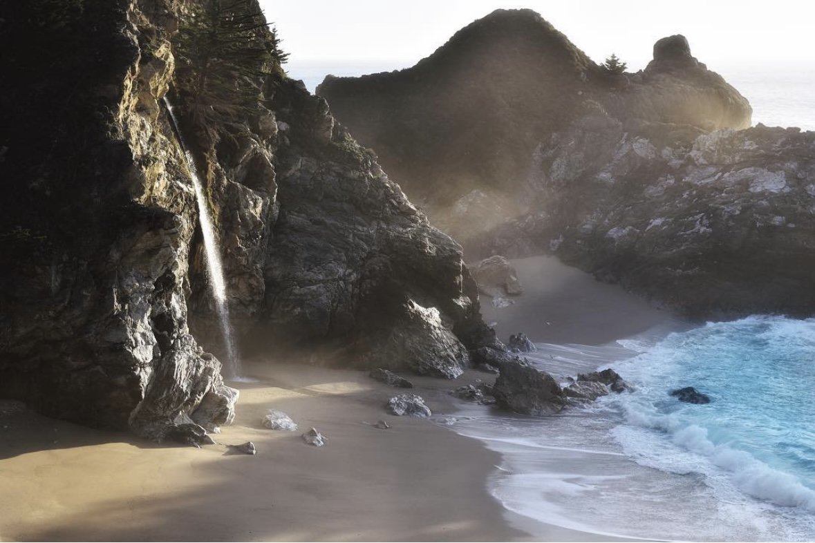
Put in at Partington Cove and paddle south (4 miles RT)
Important: this paddle should only be attempted in near perfect conditions. Not only do you need to check for virtually no winds, the waves coming in on the cove are almost always too much to launch and return safely.
Medina River, Texas
There are several options for put in and take out locations along the Medina. One option is to put in at Patterson Avenue (29.79383517618576, -99.24891433730292) and take out at Peaceful Valley Road (29.744185271166348, -99.14877741739879) for a 10.2 mile one way trip (two vehicles required).
Tip: The ideal flow for this paddle is between 250-700 cfs. Do not attempt this trip during a drought or flood.
Mendenhall Glacier, Alaska
About 5 miles RT depending on route
Morrow Point Resevoir, Colorado
Launch from Pine Creek Trail. This trail consists of approximately 232 steps into the canyon. Morrow Point Reservoir is twelve miles long. The first half-mile of water is swift, but then becomes calm and still. Be aware that fluctuating water levels and releases from Blue Mesa Dam can suddenly create very challenging boating conditions. At the end of your trip, head back to the Pine Creek Trail to exit the canyon. The current may make it difficult to paddle back to the base of the stairs, so plan accordingly.
Important: Permit required (free). Permits are available at the Pine Creek trailhead.
Natural Bridges, Oregon
Park at Secret Beach (access) and follow the trail on the right side of the parking lot a half mile down to the beach. Try to carry all of your gear down in one trip. Launch from the beach and paddle south along the coast until you reach the natural rock formations. Explore the area and head back. (1-2 miles RT depending how much exploring you do)
Tip: Check weather conditions and stay aware of changes while you are out on the water
Palisades State Park, South Dakota
Put in at Split Rock Park and take out at Palisades State Park (about 6-7 miles)
Two vehicles required and admission fee to the state park
Palouse Falls, Washington
Launch from Lyons Ferry State Park (pass required)
Approximately 11-13 miles RT (varying distances found online)
Important: This is a difficult upstream paddle. Don't get too close to the falls because of the dangerous wind, waves, currents and undertow. Ideal flows for doing trip roughly 510-550 CHS measured upstream at Hooper. Flow information available from U.S. Geological Survey water resources office in Spokane.
Pictured Rocks National Lakeshore, Michigan
Launch locations: Miners Beach, Sand Point Beach
Points of interest: Battleship Row, Grand Island sea caves, Lovers Leap (pictured), Miners Castle Caves, Spray Falls (distances vary depending on route)
Important: Wind and waves can be extremely dangerous on Lake Superior and the weather can quickly change.
Red River Gorge Underground, Kentucky
1 hour paddle through The Gorge Underground
Rio Grande, New Mexico
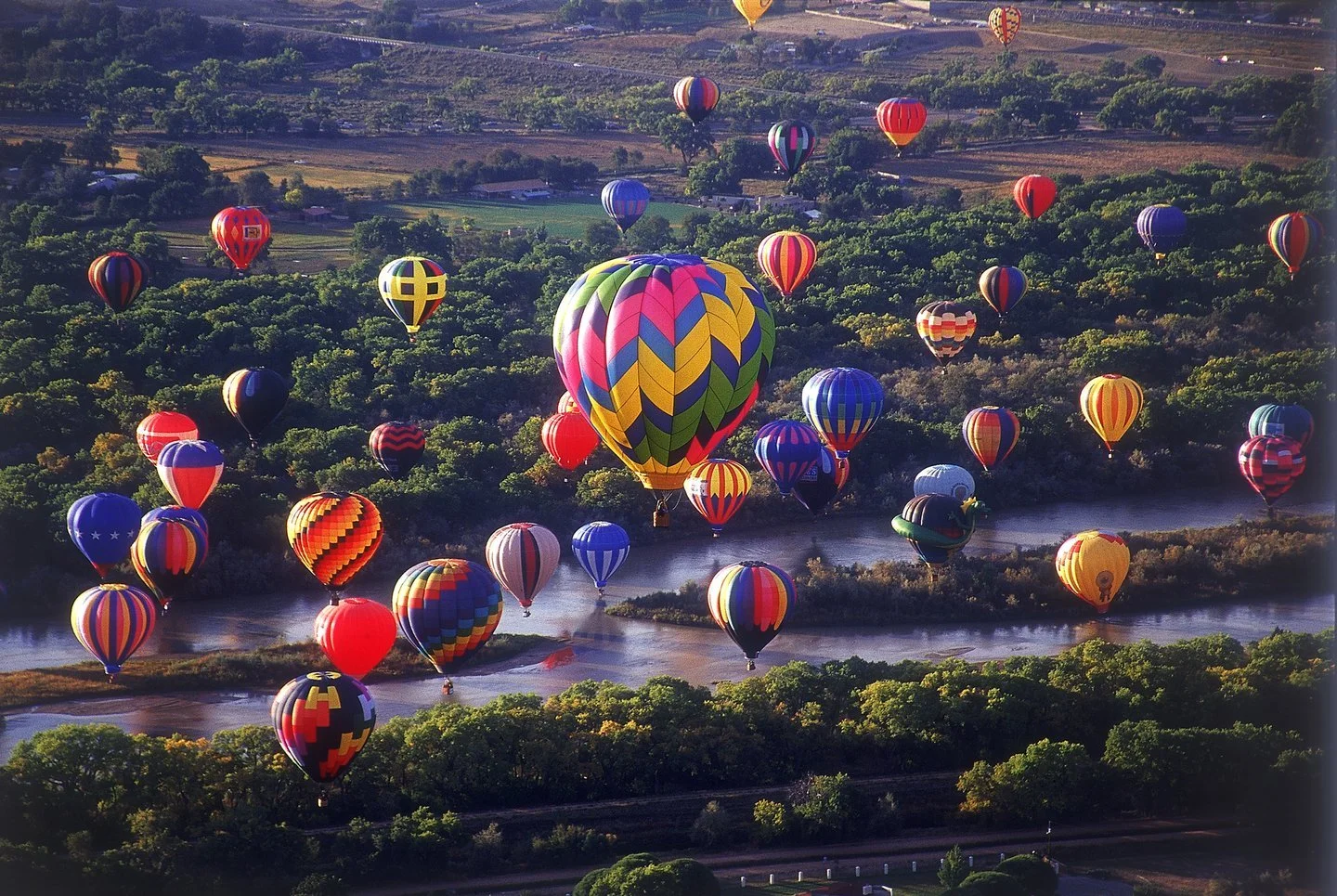
Put in at Siphon Beach and take out at Alameda Bridge West Parking (approximately 7-8 miles/two vehicles required)
Tip: Go during the Albuquerque International Balloon Fiesta (mass ascension takes place at about 7am) Ideal flows above 800 cfs
Rock Island State Park, Tennessee
Put in at the beach in the park (Beach Road) and paddle upstream to the falls. Less than 2 miles RT
Salt River, Arizona
There are several access points for this trip depending on how long you’d like to paddle. You can put in at Water Users Recreation Site, Blue Point Recreation Area, Goldfield Recreation Area, Coon Bluff Recreation Area, Phon D Sutton Recreation Area with the last take out option being Granite Reef Recreation Area. 12 miles one way if starting at Water Users and ending at Granite Reef (two vehicles required)
Tip: Launch at sunrise or late afternoon to avoid crowds and have a better chance of seeing wild horses. Ideal flow is 500-1500 cfs
Sandspur Island, Florida
Put in at Oleta canoe/kayak launch and head to Sandspur Island aka Raccoon Island with a detour at Haulover Sandbar (1.5 miles RT)
Santa Elena Canyon, Texas
Put in at the Santa Elena Canyon Trailhead and paddle upstream (a few miles depending on when you turn around to float back down). This trip is possible at flow rates under 200 cfs. 100 cfs is ideal. Less than 100 cfs will require some dragging boats. Check current CFS rates here.
Important: A backcountry use permit is required for all river trips. No fee is charged for day-use trips.
Shoshone Falls, Idaho
Put in at Centennial Park and paddle upriver to Pillar Falls, which is a 2 mile paddle. A portage of about 300 yards required to above Pillar Falls then continue 1.5 miles to Shoshone Falls (8 miles RT)
Silver Springs State Park, Florida
Put in at main entrance to the park and take out at Ray Wayside Park (5 miles down river/will need two vehicles or pay for shuttle return) or put in at Wayside Park and paddle upriver for RT.
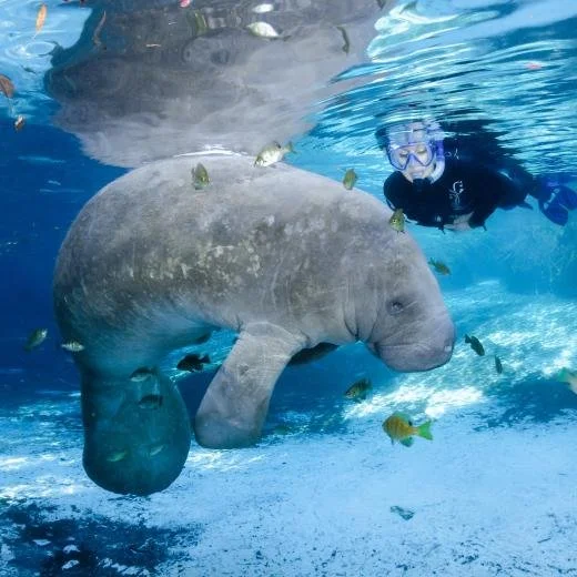
Tip: watch for macaque monkeys and manatees Important: swimming is not permitted in Silver Springs State Park
Smith River, Montana
By far the longest trip on the list at 59 miles, this paddle is not for beginners. Put in at Camp Baker Smith River and take out at Chaos Bridge Takeout.
Tip: There is a lot to know regarding permits (lottery system), overnight camp sites, shuttle services and other information for this trip. Make sure to do your research. At least 300 cfs recommended.
Smith Rock State Park, Oregon
Put in along Canyon Trail downriver from the footbridge. From here you can paddle up and down the park.
Snake River, Wyoming
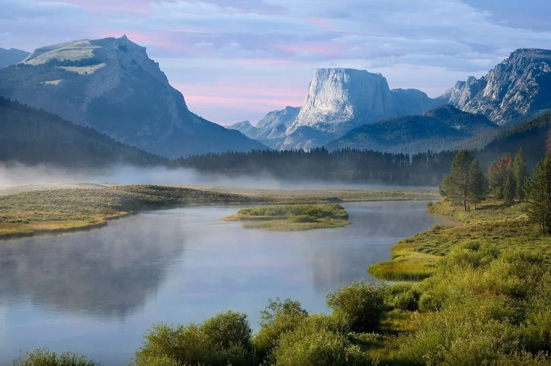
Put in at Jackson Lake Dam and take out at Pacific Creek (5 miles)
This paddle is in Grand Teton National Park and will require a park pass. Make sure to take the Oxbow Bend loop and keep an eye out for wildflowers, wildlife or fall colors depending on the season you visit!
Stallings Island, Georgia
Load up on carrots and apples for this paddle! Put in at Savannah Rapids Park and paddle upstream (approximately 2.5 miles RT). Stallings Island is just before Stevens Creek Dam.
Important: It is illegal to step foot on the island. Feed the donkeys from your paddleboard/kayak.
Summersville Lake, West Virginia
Put in at Salmon Run Public Boat Launch and head left under the bridge to Pirate’s Cove. Depending on conditions you will be rewarded with a waterfall. (1.5 miles RT)
Swiftcurrent Lake and Lake Josephine, Montana
The RT distance looks to be around 4 miles if you were to paddle to the end of Lake Josephine, although I could not find an exact distance online. You may have a portage of 200 yards between lakes depending on water levels.
Tip: Keep an eye out for wildflowers and wildlife such as bears and moose
Sylvan Lake, South Dakota
Sylvan Lake is located in Custer State Park and will require an admission fee.
Three Sisters Springs, Florida
Put in at Hunter Springs Park and paddle to Three Sisters Springs. King Spring is definitely worth a detour in the winter. RT distance varies depending on route.
Important: It is legal to swim with manatees in Crystal River, however you cannot feed them, touch them, chase them, etc. Give them space. You are a visitor in their home!
Upper Dells, Wisconsin
Put in at Town of Lyndon Boat Launch and take out at Illinois Avenue Canoe Launch (6 miles/two vehicles required)
Points of interest: Witches Gulch, Cold Water Canyon
Weeki Wachee Springs State Park, Florida
One way down river (5.5 miles): Put in at Weeki Wachee Springs and take out at Rogers Park (two vehicles required)
Round trip put in & take out: Rogers Park (11 miles RT)
If launching from Weeki Wachee, a reservation is required. If launching from Rogers Park, the farther upstream you get the less crowded it’ll be on the weekends.
Winter Park Chain of Lakes, Florida
Launch from Dinky Dock Park. Don’t miss Fern Canal, Venetian Canal and Howard Creek (A few miles RT - distance varies depending on route)
Tip: After your paddle, head over to Rollins Museum of Art or Albin Polasek Museum & Sculpture Gardens. Both are located on the lakes.
Wonder Lake, Alaska
Due to a landslide there is currently no road access to Wonder Lake. For updates visit NPS.
Yosemite Valley, California
Put in at Stoneman Bridge and take out at Sentinel Beach Picnic Area (3 miles)
This paddle is in Yosemite National Park and will require a park pass. Important: (NPS requirement) Water level must be less than 6.5 feet at Sentinel Bridge, and the combined air and water temperature must exceed 100°F.

