
A Scenic Day in Mount Baker
There is so much you can see in just one day along the Mount Baker Scenic Byway. We didn’t do all the hikes on this list and we also aren’t what you would consider early risers or fast hikers, but I see no reason all these hikes couldn’t be completed in a day, especially if you opted for the viewpoint on a couple instead of the full hike.
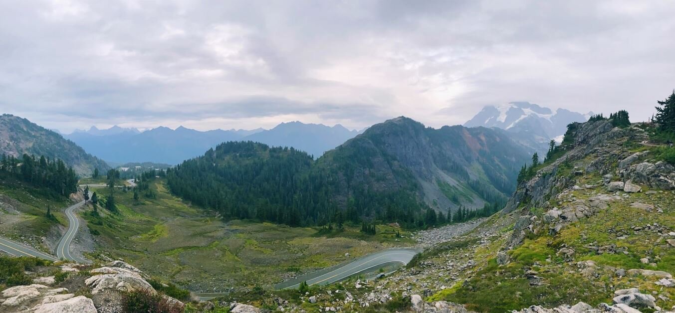
Start your day with a hike to Heliotrope Ridge. This will be the longest hike of the day (depending on the website you check it says anywhere from 5.5-5.9 miles out and back). I’m not going to do an entire trip report, since many have already been done, but I will give a few pointers.
First, the roads in, NF-39 & FS-39, are full of potholes so take your time. If you use Google Maps to Heliotrope Ridge Trailhead, it will actually tell you, “you have arrived,” about 0.2 miles before the parking lot. Just keep going and you will see the parking lot and bathrooms.
There are a few river crossings on this hike and in the summer the water levels will rise throughout the day so keep that in mind. The first two crossings are pretty simple. Shortly after a junction about 2 miles into the hike (Climbers Route to the right/you will go left) will be your third river crossing, Heliotrope Creek. Don’t let the name “creek” fool you. This crossing should be taken with caution! When we got to Heliotrope Creek, we actually hiked up it for about a quarter mile to see if there was anywhere safer to cross. It looks like the crossing the hiking route leads you into is indeed the best option so we hiked back down to the original spot and crossed. My boyfriend ended up helping a couple parents get their children across and we did see one woman lose her footing and partially fall into the rushing water. The forth crossing is another pretty easy one.
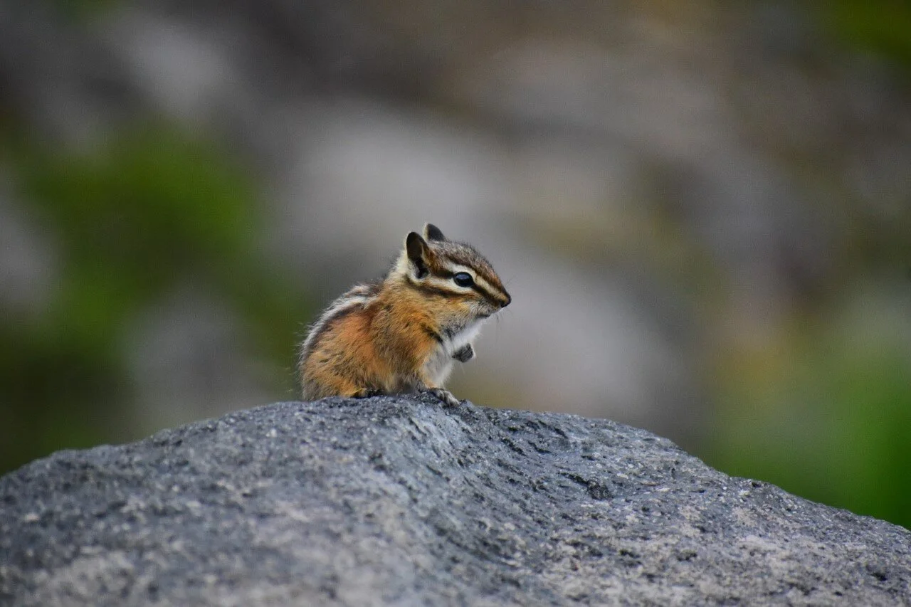
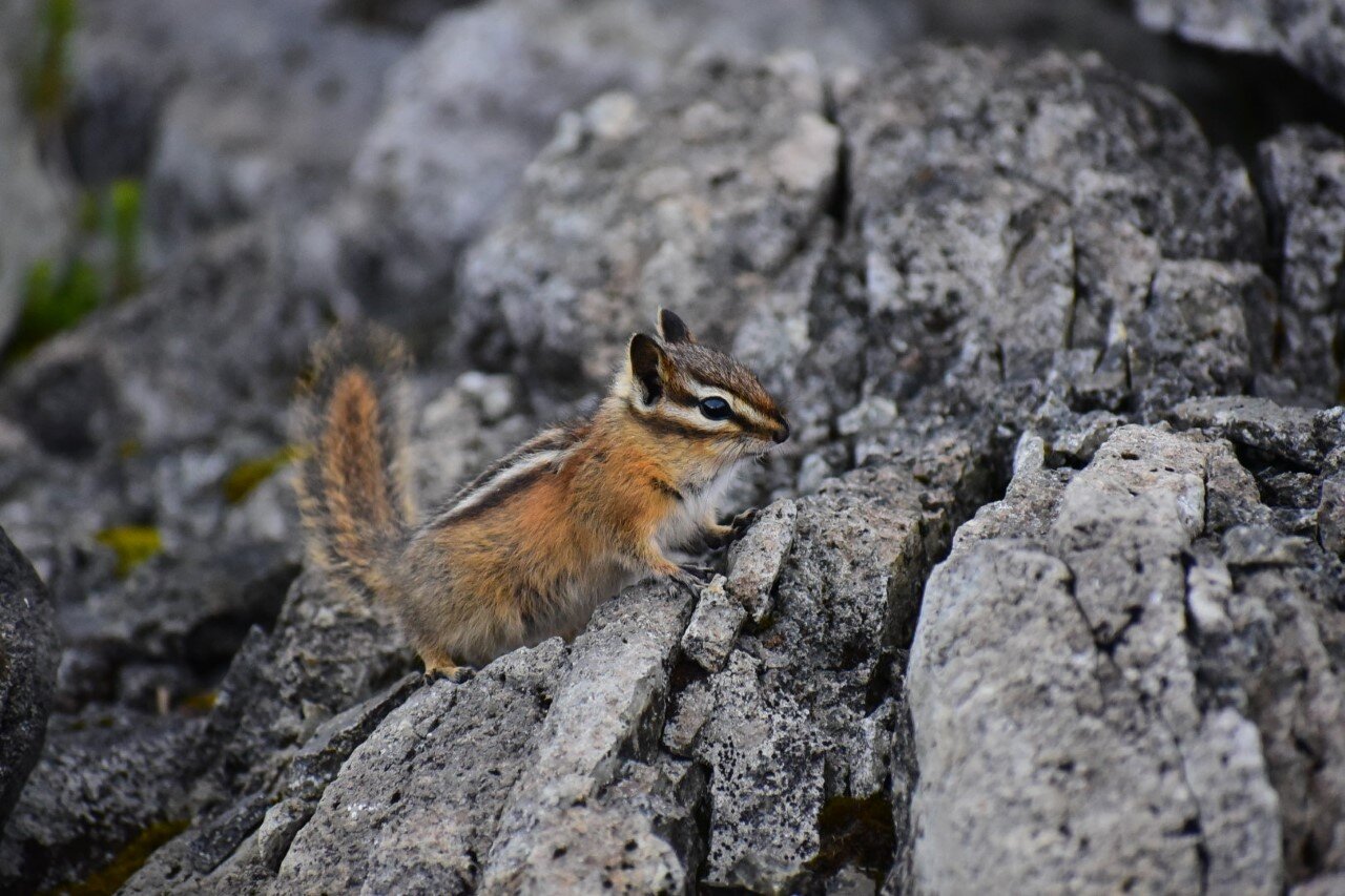
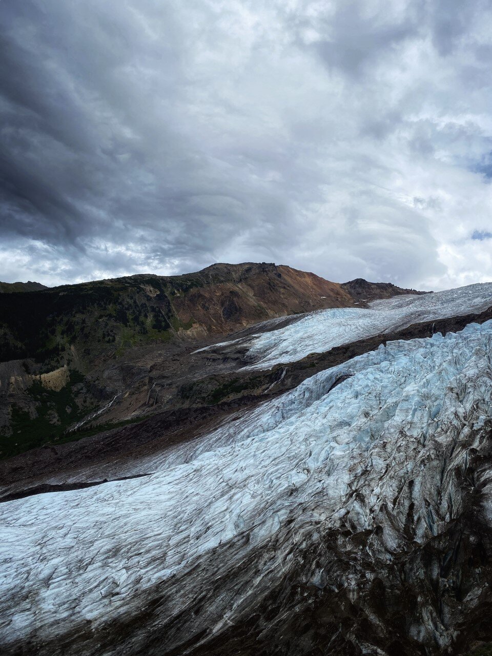
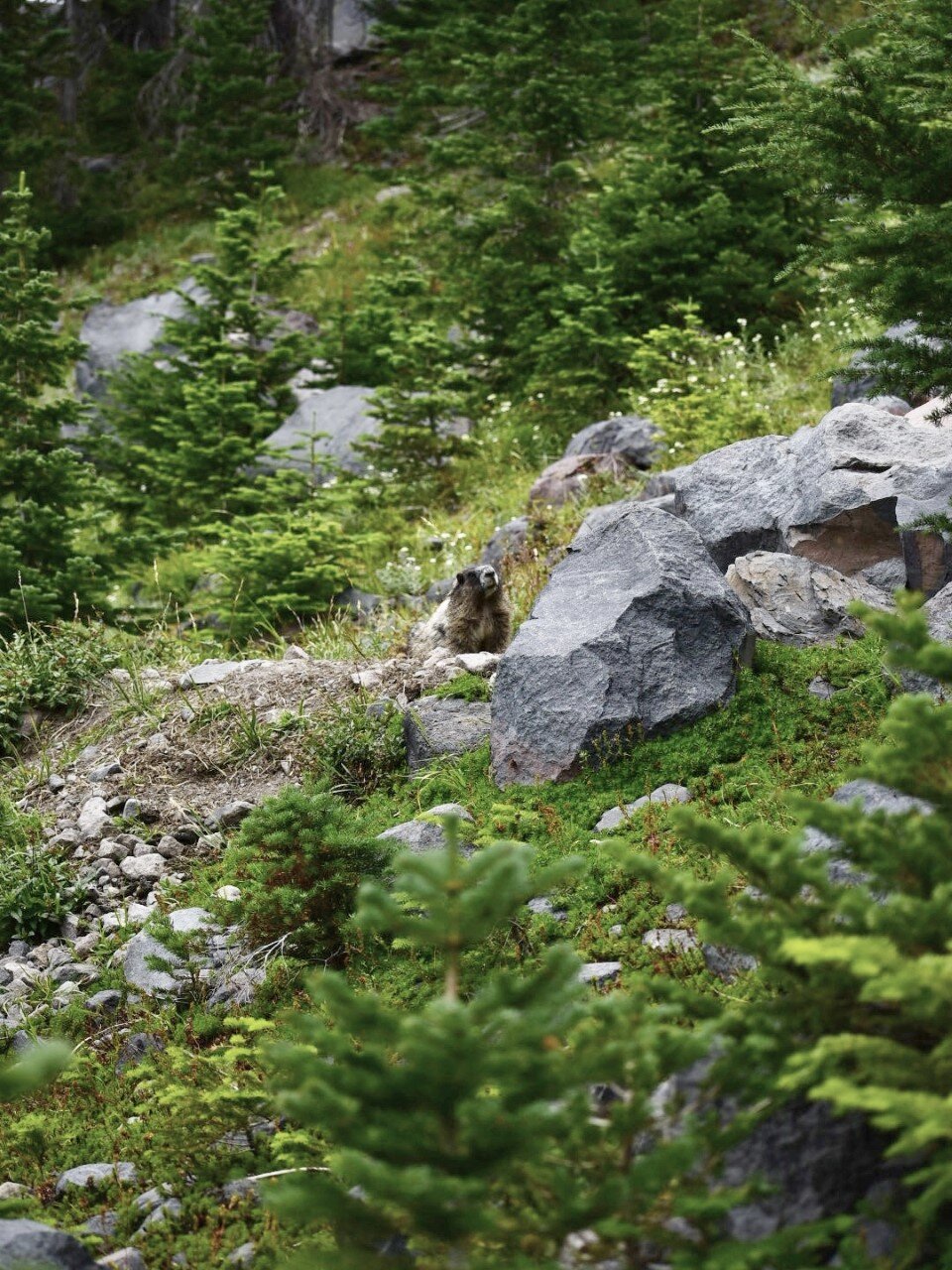
Once past the last river crossing, the glacier views are just up the ridge. Keep an eye out for marmots. We were lucky enough to see a couple.
We started this hike at 10:30 am and got back to the car at 2 pm. This hike can probably be done much faster. We hiked with a cat that likes to veer off course every once in a while and my boyfriend pulled a couple’s car out that got stuck in the mud at the trailhead so I’d imagine, at the very least, you could do this hike at least a half hour faster than we did.

The next 3 stops of the day are all waterfall hikes. The first, Nooksack Falls, is only 0.1 miles RT. It is literally right across the street from the parking lot. (This is the only one we did for the day since we didn’t want to put the cat through another road of potholes) The second, Wells Creek Falls, is down the same road another 4.7 miles and last, Sholes Creek Falls, is another 0.6 miles down the road.

Bagley Lakes is a 2 mile hike that we missed. I honestly didn’t even know about the hike until we drove by it headed up towards Artist Point. I Googled it once we were back home and I believe the image I captured was of Lower Bagley Lake. If you just wanted to hike to the lower lake it looks like a pretty short walk from the parking lot. From the pictures online, the entire hike looks worthwhile though. It even has a little stone footbridge at one point.

End your day at Artist Point. If you’ve had enough hiking for the day, you really can just get out of your car and enjoy a great view. But, if you have just a little bit of energy, I suggest making the 1.2 mile RT hike to Huntoon Point. Even if you don’t walk the entire trail, you will want to stop every 2 seconds for pictures. There are gorgeous views in every direction, but the real cherry on top of a perfect day is facing Mount Shuksan.